
Joe, Sabrina, Marie, and Jess
We kept running into another Jucy campervan along our travels, and since we were probably going the same place anyway, we invited Joe and Jess to join us for the Tongariro Crossing.

Starting point is at Pukeonake, finishing point is at Ketetahi Rd.

We had the cost efficient idea of dropping everyone off at the trailhead before sunrise in the morning, then only 2 of us needing to buy transport there and at the end of the trail. This meant they had to wait in the freezing cold for 2 hours though... we didn't work that one out so well.

We started on the trail before the sun hit it.

Our first view of Mt. Ngauruhoe.
We started our journey climbing its slopes.
We started our journey climbing its slopes.


It was so cold.
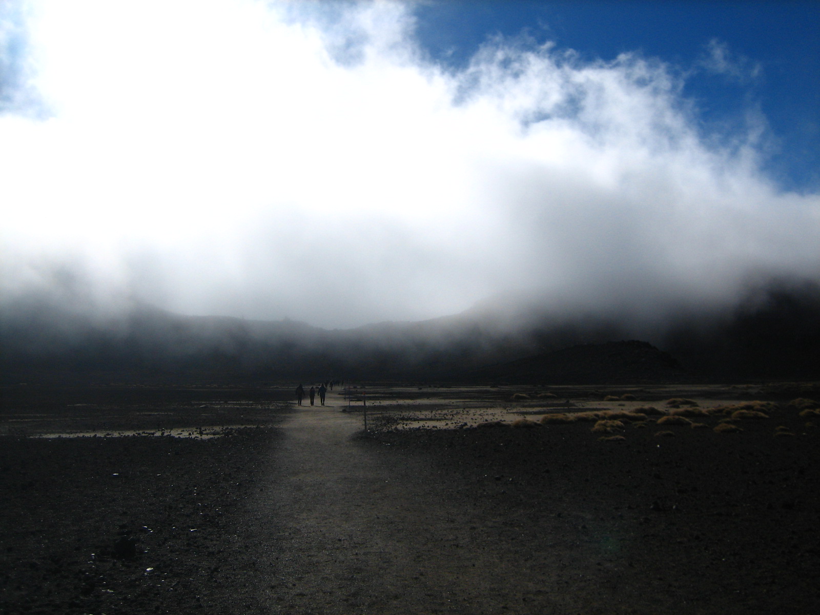
The fog made everything mysterious and poetic.


There were 2 peaks you could chose between, Mt. Ngauruhoe (dangerous and steep) or Tongariro (Medium challenge). We only had time to do one, so we chose Tongariro and crossed our fingers that the fog would clear.


Roelinda enjoying a rest.
We brought one beer up to the top to split!

Joe at the peak.

Me at the top of Mt. Tongariro!
From here we had an excellent view of Mt. Doom.
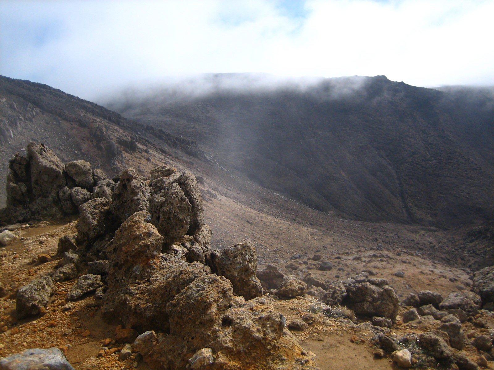
The earth is black and red and yellow with some areas smelling very sulfurous.
It was such desolate terrain, but beautiful for it.
The earth is black and red and yellow with some areas smelling very sulfurous.
It was such desolate terrain, but beautiful for it.

Mt. Doom
otherwise known as Mt. Ngauruhoe


The fog finally cleared about 15 minutes after being on top of the peak.
After descending from the mountain we had reached the halfway point of our trek. My knee started hurting on the descent, an ominous sign since we still had 4 hours downward to go. After this section we made our way to the Emerald Lakes, sulfurous vents, and beautiful vistas where you can see tons of old volcanoes in the distance among lakes and forest.

Glimpse of the Emerald Lakes through the fog.
Time to go down this scree, not so fun in hiking sandals.
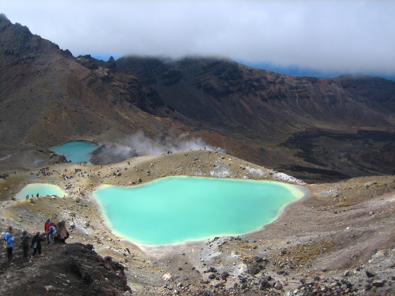
The Emerald Lakes!
That fog just behind the hill is a stinky sulfur vent.


Check out this interesting formation to the right.
At one point the lava streamed through this portal.
It's like a huge lavagina!


Hiking away from the emerald lakes you can see a
huge flat section of old lava.

My first view over the pass.

I didn't end up seeing the eye of Sauron,
but I felt like something was watching me!


Hot pool stream.

The trail out.

At the end of the trail is a jungle walk.
There were a lot of steps down to take. My knee was still hurting at this point, but only when I walked downward and not up. So weird, I still don't understand it, but I just walked down the steps backward and it was OK. I had to push forward to make it out in time for the shuttle.
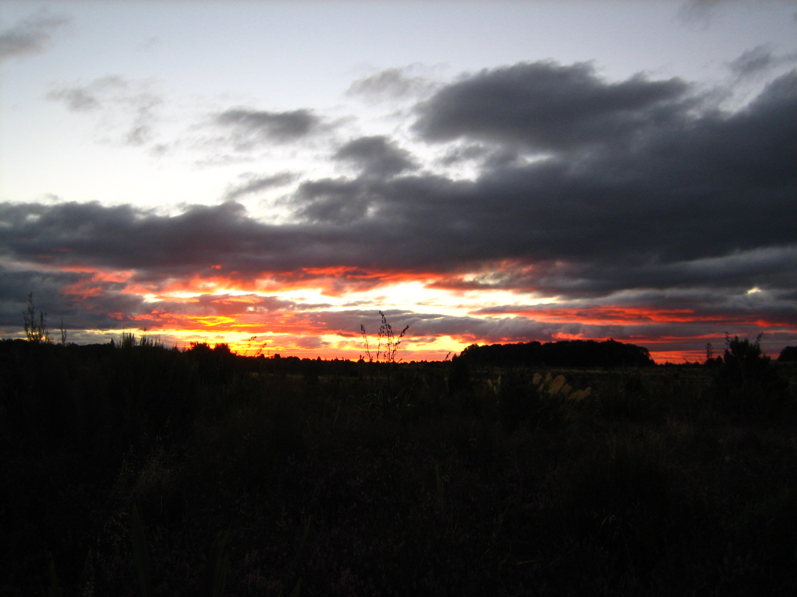
Sunsets are always so beautiful when your feet hurt like hell
and your sitting drinking a cold beer after a long day hike.
No comments:
Post a Comment